


PEN3D is fast and easy to develop noise models. In this example the steps are:
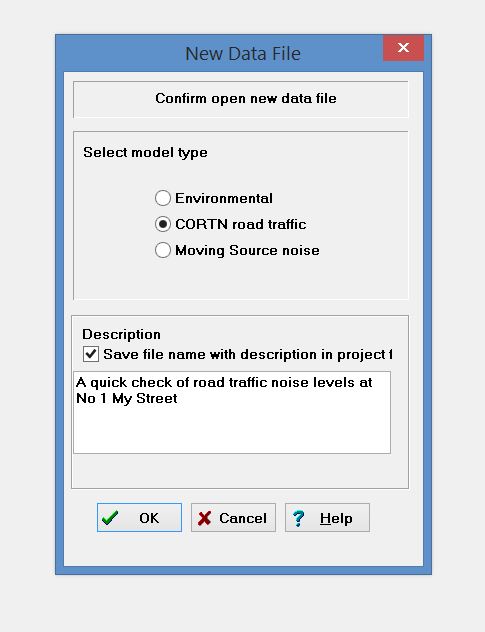
1 Create a file
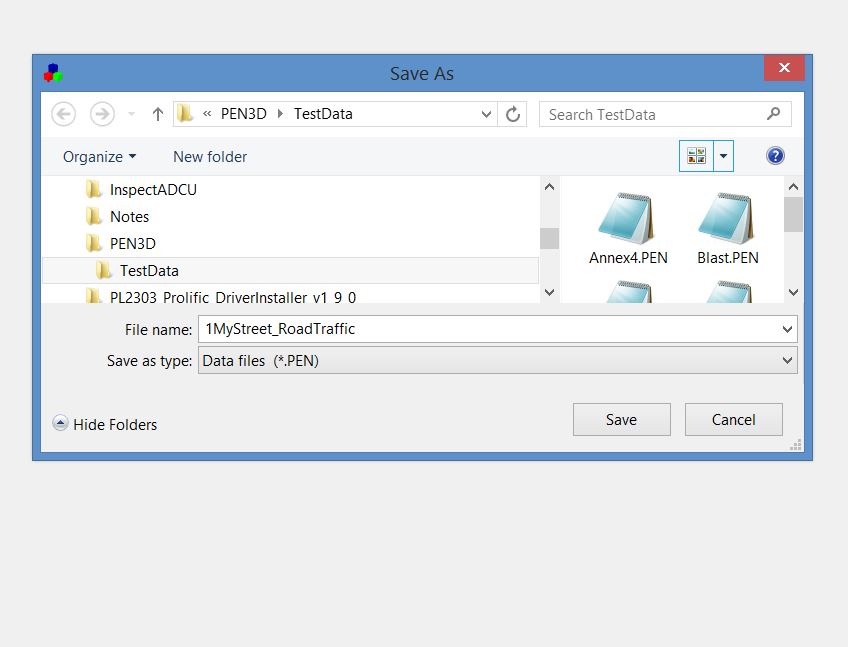
2 Save the file for later
3 Use Google Maps and type in the address of the site. Then zoom the window to set the modelling domain and save the image for offline use. Maps are converted to WGS 84 mapping datum.
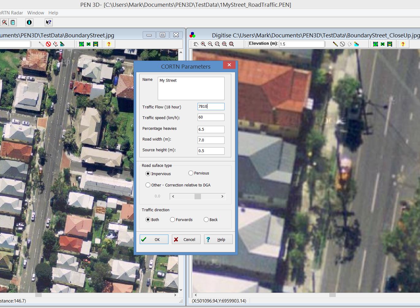
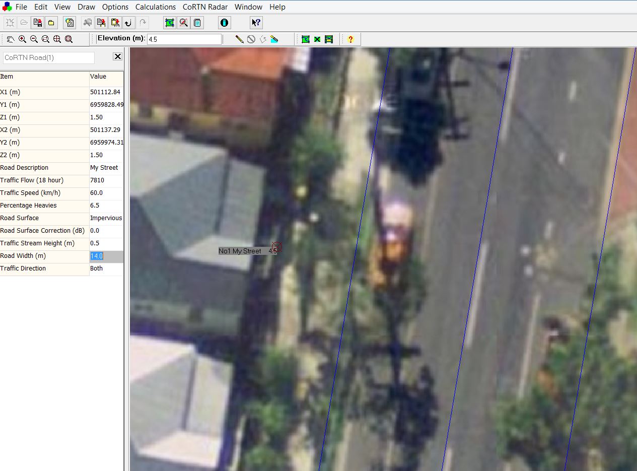
4 Change to satellite view to identify features
5 Digitise the road center-line and enter the road use features (you can count traffic over one hour and calculate the one hour noise level)
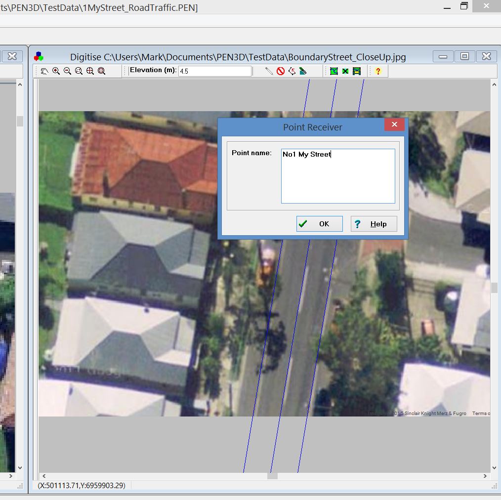
6 Digitise the calculation point(s) at the correct height
7 Fine-tune the road and receivers properties
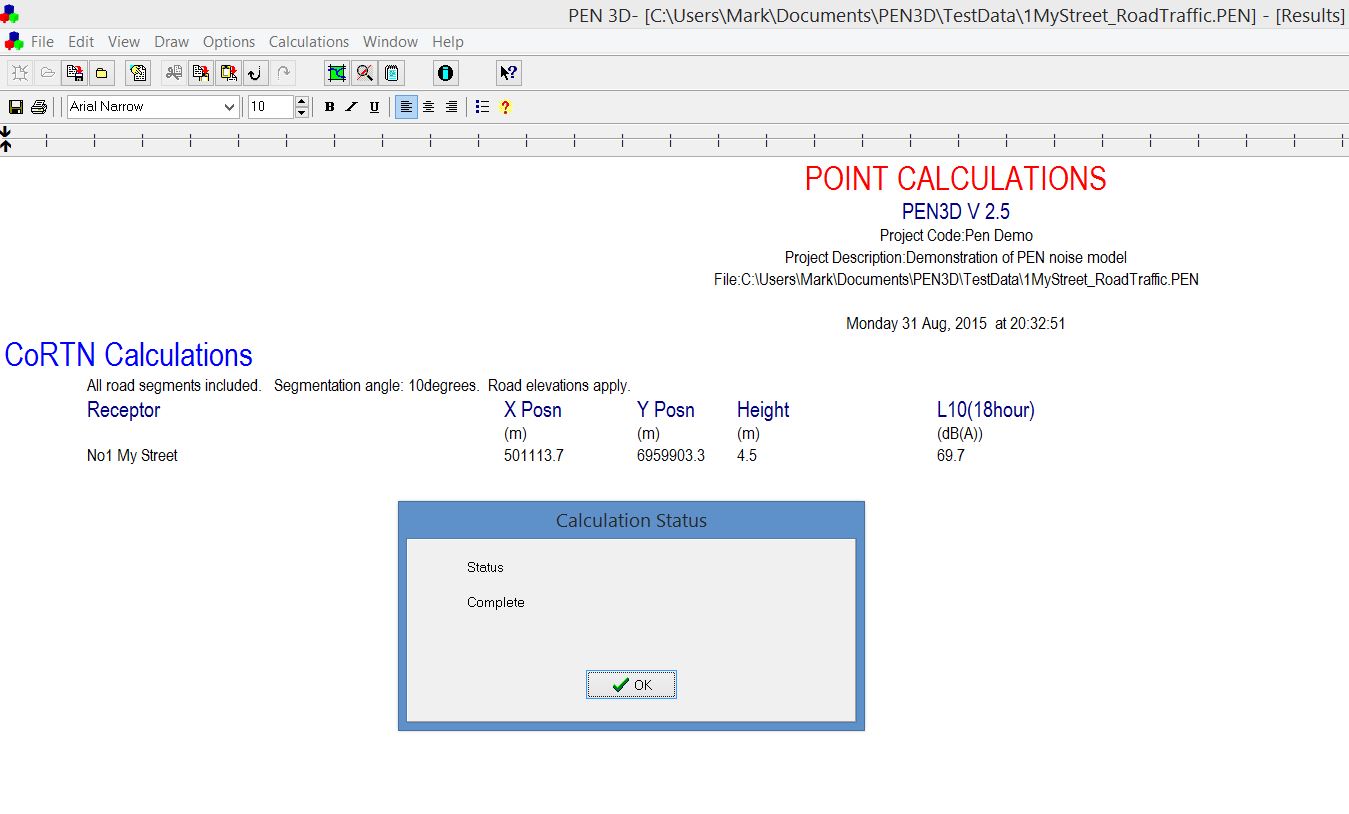
8 Then select Calculate and press Ok and the noise level is presented to be copied or saved to file.